
 Svenska
 Dansk
Dansk
 Suomi
Suomi
 Español
 Deutsch
 Français
 Italiano
 Nederlands
 Polskie
 Norsk
Norsk
Cart
Your cart is empty, but doesn't have to be..
Discount: 0.00 EUR
Digital Skipper |2/11, 2023
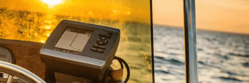
GPS and GNSS satellites are used to provide an accurate position for a person or object almost anywhere on Earth. The technology is based on trilateration, a method that calculates position by distance to multiple satellites.
Trilateration is primarily used in surveying and navigation, including global navigation satellite systems (GNSS) such as Galileo and GPS.
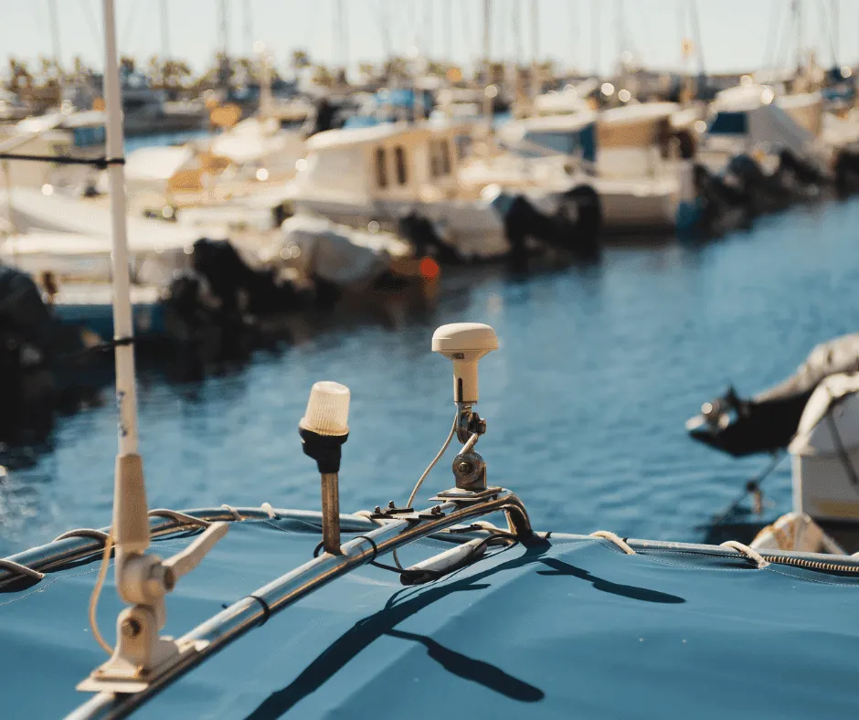
These functions are important in the marine Industry Terms and can be integrated with NMEA 0183 or NMEA 2000-GPS instruments connected to other devices.
An autopilot connected to GPS is significantly more accurate than one that only uses a compass. GPS allows the autopilot to maintain course by compensating for wind and current, saving time and fuel.
VHF radio with DSC (Digital Selective Calling) increases safety at sea. By connecting GPS, your exact position is automatically sent during distress calls, which can save lives.
AIS uses GPS to show the position of other vessels relative to your own, reducing the risk of collisions.
With the help of gateways like Actisense USG-2 or NGX-1, you can transfer NMEA data to PC applications such as OpenCPN or TimeZero.
To share GPS data with multiple devices, you can use NMEA buffers like PRO-NBF-1 or PRO-BUF-2, which is a cost-effective solution.
GPS is an indispensable tool for navigation and safety at sea. By integrating GPS with autopilot, VHF, AIS, and PC applications, you can make your system smarter and safer.
Tip: Always check compatibility with your equipment and test the installation before departure. For questions, contact the Manufacturer or a certified NMEA installer.