
 Svenska
 Dansk
Dansk
 Suomi
Suomi
 Español
 Deutsch
 Français
 Italiano
 Nederlands
 Polskie
 Norsk
Norsk
Cart
Your cart is empty, but doesn't have to be..
Discount: 0.00 EUR
Digital Skipper |27/07, 2021
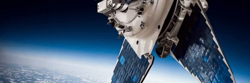
GPS stands for Global Positioning System and is a satellite-based radio navigation system owned by the American government and operated by the United States Space Force. GPS is the most widely used navigation system in the world and is used to determine position, speed, and time using satellites and receivers.
GPS consists of a network of satellites that always have several in sight. At least three satellites are required to calculate a position using trilateration, which measures distances rather than angles. A fourth satellite is used to increase accuracy and provide altitude data.
The distance is calculated by measuring the time it takes for the signal to reach the receiver: Time * Speed of Light = Distance. This requires an accurate clock in the receiver, allowing GPS units to provide extremely precise time and position data.
GNSS stands for Global Navigation Satellite System and includes several international systems: GPS (USA), GLONASS (Russia), Galileo (EU), BeiDou (China), IRNSS (India), and QZSS (Japan). GNSS units are more accurate than GPS alone because they use more satellites, but they are also more expensive.
GPS is crucial for safety and navigation. Here are three main reasons:
Many boats have older NMEA 0183 GPS units, while modern networks use NMEA 2000. The Actisense NGW-1 conversion gateway converts NMEA 0183 data to NMEA 2000 PGN, allowing GPS information to be displayed on MFDs and chartplotters.
For PC applications like MaxSea TimeZero, we offer the NGT-1 NMEA 2000 Gateway, which transfers all PGNs to the computer and back to the network. For wireless connection, the Actisense W2K-1 Wi-Fi gateway is perfect for sending data to apps like Navionics and OpenCPN.
GPS and GNSS are vital for safe navigation. By combining GPS with NMEA 2000 and Actisense products, you get a complete solution for modern marine electronics.