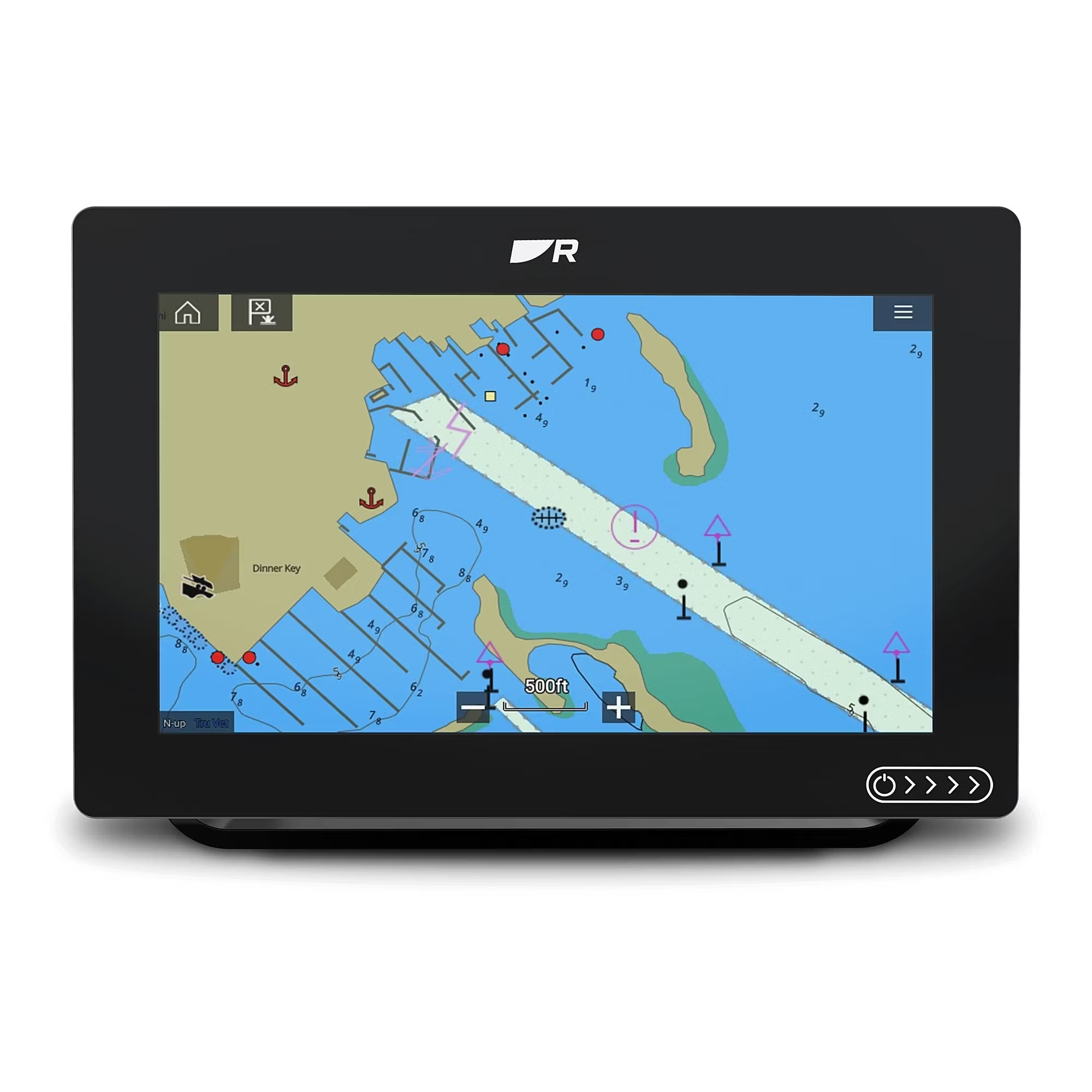
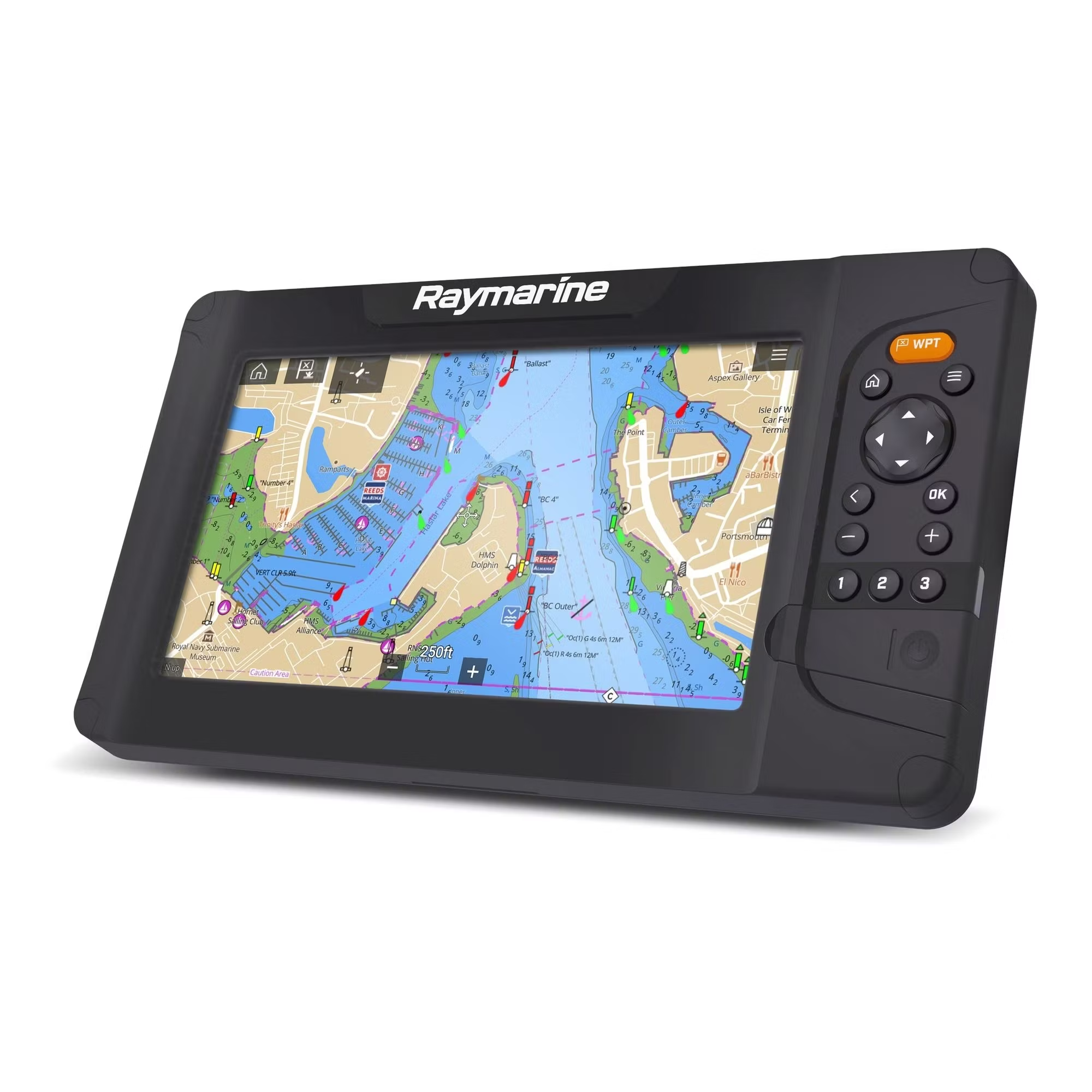
Raymarine chart LightHouse is a preloaded electronic chart on a microSD card designed for navigation with Raymarine chartplotters. The card provides access to customisable charts created from official hydrographic sources with colour-shaded depth contours and high readability for marine use.
Features
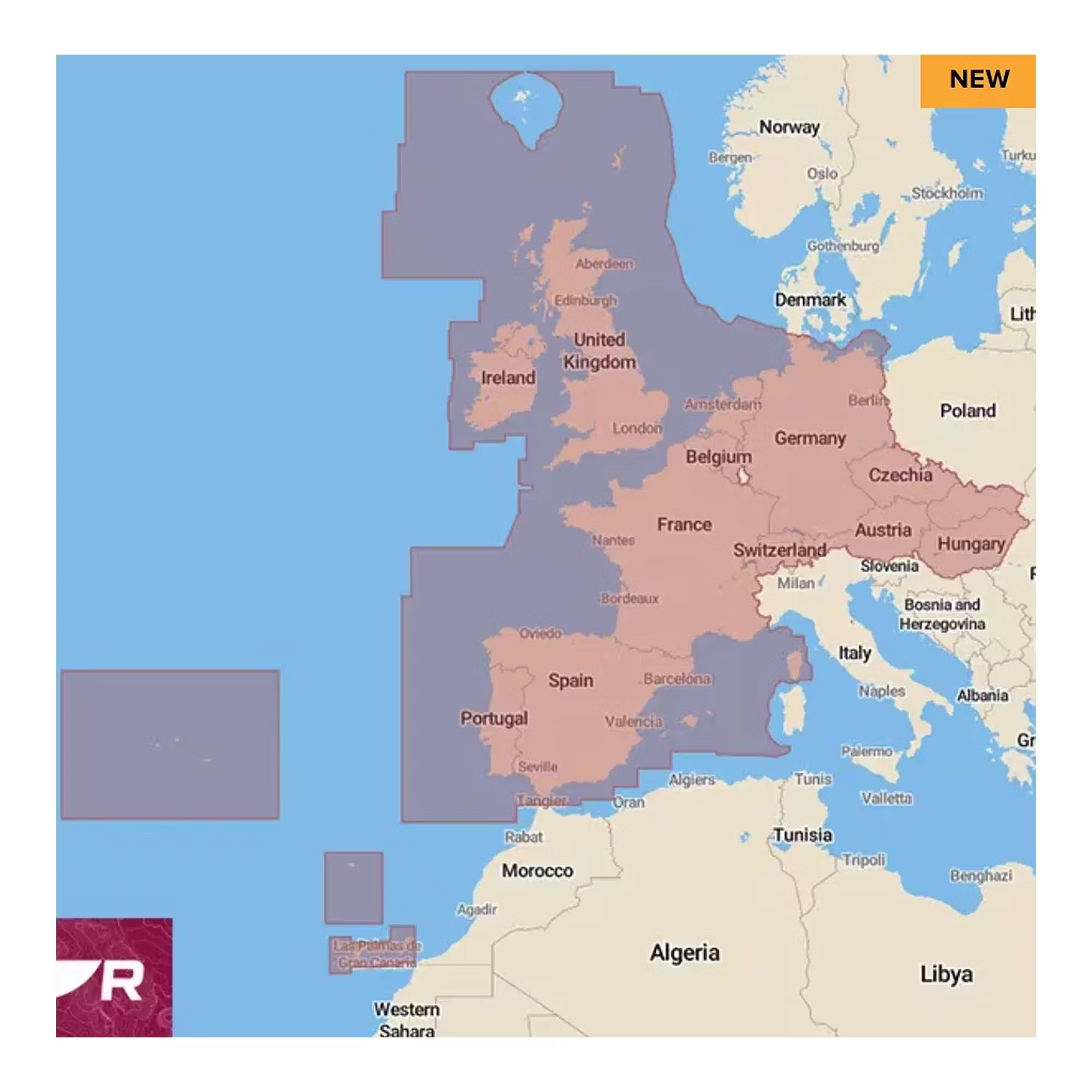
- Includes coverage of Ireland, the United Kingdom, Portugal, Spain, France, Germany, Switzerland, Austria, the Netherlands, Belgium, the Czech Republic, Hungary and Slovakia
- Switch between professional S-52 chart style and LightHouse leisure charts
- Four different colour palettes for daylight, dusk, darkness and bright sunlight for easier reading in changing light conditions
- Option to resize navigation aids, points of interest and icons
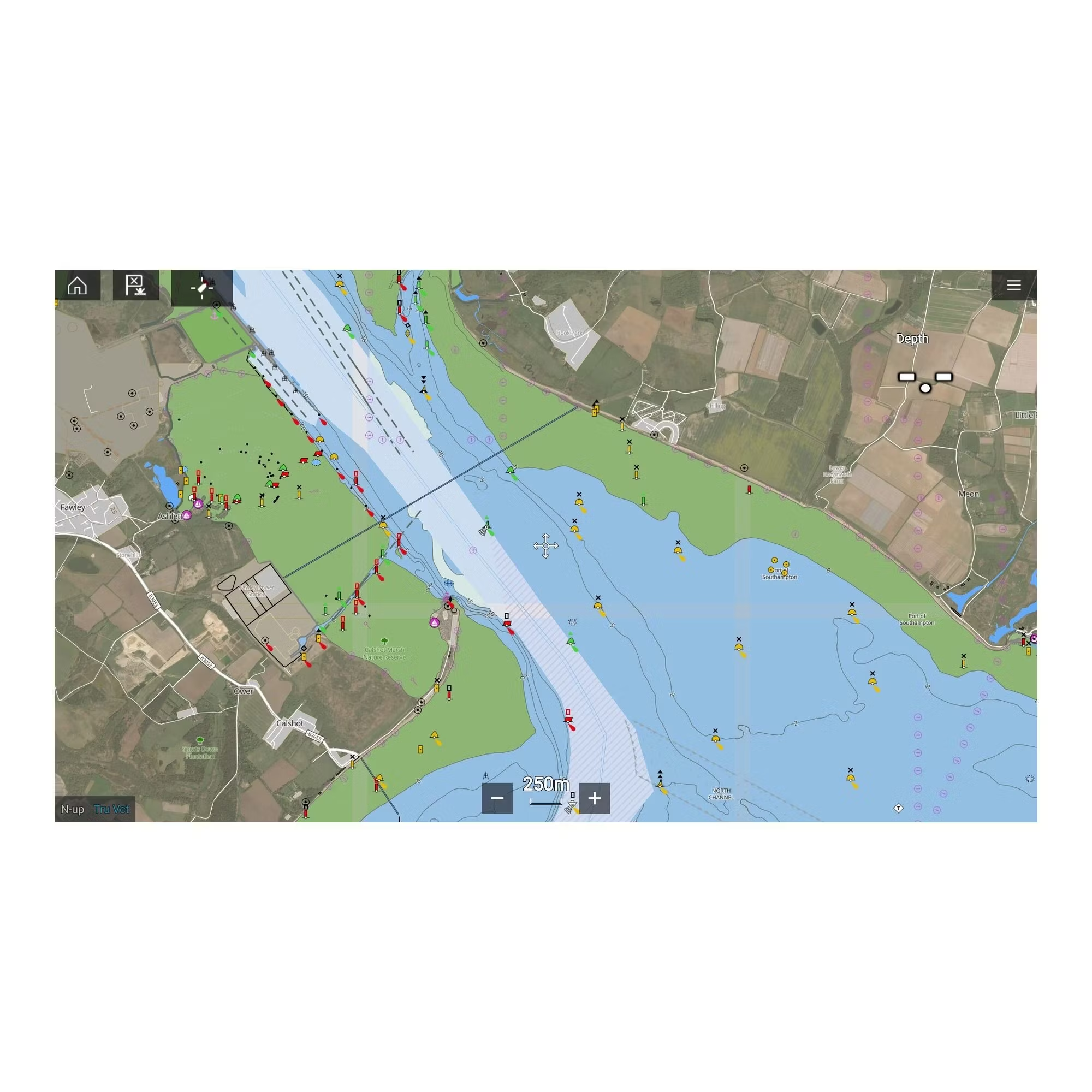
- Access to high-resolution satellite imagery from Mapbox of streets, beaches and shallow waters
- Option to subscribe to LightHouse Premium for continuous chart updates, an extended points of interest (POI) library and downloads via mobile phone
- Includes a one-year subscription to LightHouse Premium
Technical specifications
- Type: LightHouse chart, preloaded on memory card
- Area: Western Europe
- Fits: Raymarine displays that support LightHouse charts
Compatibility
- The chart is compatible with Raymarine Axiom, Axiom+, Axiom Pro, Axiom XL and Raymarine Element. Requires LightHouse V3.13 or later. Dusk mode, night mode and resizing of text and depth figures do not work in the Element series, but resizing of navigation aids is supported
Links

 Svenska
 Dansk
 Suomi
 Español
 Deutsch
 Français
 Italiano
 Nederlands
 Polskie
 Norsk